
Modeling and visualization
Reduction of complexity for decision support
We offer n-dimensional models to make complex tasks comprehensible and understandable. With the help of the latest visualization methods, we support decision-makers in all phases of infrastructure projects.
Effective data collection – the recipe for good models
As with a good meal, the ingredients determine the quality of the end product. For example, high-quality drilling data, geophysics, UAV-based remote sensing, archive data and classic field work are the basis of any underground modeling. Paired with the expertise and experience of our experts, it becomes a clear, modern digital twin. Of course, understandable.
We model complex issues
If the expert’s heads are spinning, then the time has come to summarize the data. 3D models can easily and effectively represent complex relationships. A clear visualization has many advantages, from direct understanding to better communication within the project, partners but also with external authorities and neighbours. Both non-specialists and experts benefit from this. Depending on requirements in different disciplines: geotechnical, geological, hydrogeological models can be displayed and combined and interpreted at the same time. The input parameters can be very diverse and even geometrically complicated intersections are clearly recognizable and reusable for everyone involved. Also directly BIM compatible on request. Because everyone knows: a clear picture is worth a thousand words.
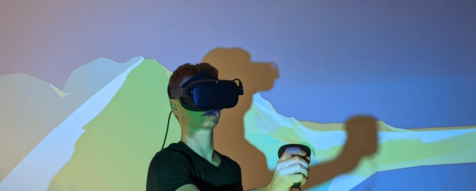
We visualize in a targeted manner
At the end of the day, when all the data has been collected, evaluations completed and all major and minor aspects taken into account, things are started. Nothing is more important than a master plan that contains all the information available, so that all challenges can be dealt correctly and in a targeted manner. Everyone involved in the project can now see the “big picture”. Should the situation change due to new findings – our models can be updated at any time, and project details can be adapted and optimized in the process. If it gets a little more complicated despite the careful planning, we still have a trump card in hand: 3D models – fully immersive – state-of-the-art AR / VR and mixed reality methods for the targeted visualization of various topics to support decision-making.
Services in a nutshell
- 3D modeling and visualization of the subsurface, e.g. for geotechnical, (hydro) geological or chemical issues BIM models
- Visualization and simulation of technical issues
- FE simulations (safety analyzes, measurements)
- Stability and process modeling (rock and slope stability, rockfall, mudslides, avalanches)
- Groundwater modeling
- Visualization using AR / VR and mixed reality methods
- Hands-on 3D models